|
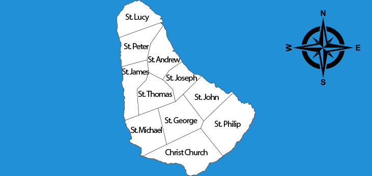
ParishesWilliam Mayo spent three (3) years from 1717 up until 1721 surveying parish boundaries on the island of Barbados before he could produce the Mayo Map of 1722. Despite the production of the map, boundary marks were still quite vague and often a source of confusion. The country of Barbados is currently subdivided into sub-regions known as parishes. These eleven parishes were roughly laid out in the 1640s but it wasn't until 1721 that precise boundary marks were established. An Act of the Barbados Parliament stated that parishes throughout the island of Barbados are officially labelled as the "Parish of" followed by the name of the parish as opposed to the American labelled system that names the word "Parish" after the actual parish name.
Each parish in Barbados offers a unique blend of natural beauty, cultural heritage, and historical significance, making the island a rich tapestry of experiences for visitors and locals alike. |


