|
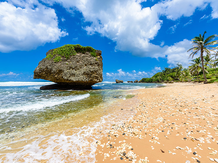
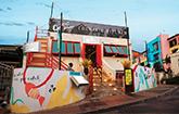
Scotland DistrictScotland District in the parish of St. Andrew in Barbados has very unique properties, some of which may be unknown to the general populace. It is based at the top of a sub-marine mountain range which stretches all the way from Trinidad in the south to Puerto Rico further north in the Caribbean chain. Furthermore, it is the single location in the range which is above water. Imagine that! We can go on to describe the district as a "half-bowl" which houses what would be considered the only highlands of Barbados as its scenery and overall landscape is far unlike any other parts of the island. Due to its land composition, the Scotland District is more prone to landslides than any other part of Barbados, thus one of the reasons why it is not largely used for agriculture like other parts of the island. For those interested in the subjects of geography and geology, the Scotland District has rock formations between 30-50 million years of age, composed of clay stones, chalk and volcanic ash. It runs through the parishes of St. John, St. Joseph and St. Andrew. The island's highest point, Mount Hillaby, is of course located in the Scotland District. Sounds intriguing? It certainly is, for there are always surprises on the island of Barbados.
|
Your Ultimate Guide To Barbados
There are so many things to do and see here in Barbados!
View all of our best tours and start your adventure today!
Barbados Pocket Guide
Welcome to the Barbados Pocket Guide, a comprehensive source of information about our island, it's people, culture and life in general. We also have tons of information on places to stay, flights, car hire and tours of the island, all here! Enjoy visiting our site and please feel free to write a comment or send us a message directly with articles you think we need to add.
Things To Do!
Island Safari
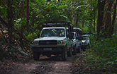
Island Safari offers a unique jeep safari experience on our zebra striped, specially designed 4x4 jeeps. Climb on board our comfortable cabs and let us show you what the others leave out, specifically the most scenic locations of the island by travelling on and off the beaten track.
Harrison's Cave
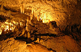
Explore Barbados' underground! At the heart of the island lies a great geological wonder, the magnificent Harrison's Cave. Admire the crystallized, limestone cave, its flowing streams, deep pools and towering columns as you travel by tram or get up close and personal with the Eco-Adventure Tour.

Catamaran Cruise
Lay back, relax and sunbathe as you sail across the calm Caribbean Sea. Explore the crystal clear waters as you swim and snorkel with the tropical fish and majestic turtles. Then, enjoy a scrumptious lunch as you admire the beautiful rolling coastline and sparkling water.

Mount Gay Visitor Centre
Make a stop at the world renowned Mount Gay Rum Distillery and discover the secrets behind Barbados’ finest and most celebrated spirit, in the island where rum was invented! Witness the history of Mount Gay as you journey with them through their rich heritage, proven artisanship and unique taste.
SunTours Special
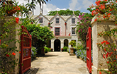
Grab the SunTours Special with SunTours Barbados and see all the most popular spots in Barbados! Immerse yourself in the interesting history of this island, view the most picturesque scenes and enjoy a delicious Bajan style lunch at a well favoured local spot.
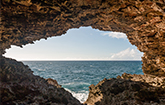
Animal Flower Cave
The colourful walls and the fascinating sea anemones at the Animal Flower Cave draw a crowd, but the amazing pools, some of which are deep enough to swim in, are the real attraction. While here, take a stroll over to the cliffs to feel the refreshing sea breeze and take in the stunning seascape.

